Save
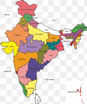
User Fab1en uploaded this Indian Map - States And Territories Of India Mapa Polityczna PNG PNG image on October 13, 2017, 11:04 pm. The resolution of this file is 640x747px and its file size is: 213.38 KB. This PNG image is filed under the tags:
Indian Map - States And Territories Of India Mapa Polityczna PNG
Below are more related PNG images...