Save
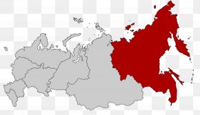
User zephiris uploaded this Map - Far Eastern Federal District Russian Far East Vladimir Map Geography PNG PNG image on October 4, 2017, 7:49 am. The resolution of this file is 2000x1154px and its file size is: 197.98 KB. This PNG image is filed under the tags:
Map - Far Eastern Federal District Russian Far East Vladimir Map Geography PNG
Below are more related PNG images...